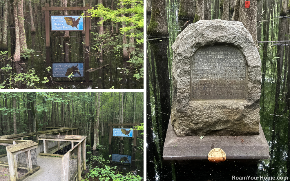
Louisiana Purchase State Park
Louisiana Purchase State Park is located in eastern Arkansas, about 20 miles south of Interstate 40, halfway between Little Rock and Memphis. The park protects an important piece of our nation’s history. It’s a National Historic Landmark that preserves the initial point from which all surveys of land acquired through the Louisiana Purchase of 1803 originated.
My wife and I visited the park on an early spring morning. We’d been road-tripping through Arkansas and were about to dip into Mississippi. This was our last stop in the Natural State.
We got to the trailhead about 30 minutes after dawn. The parking lot was small, and we were the only people there. The park is also tiny, just under 40 acres. While small, it is incredibly cool.
The entire park is a “headwater” swamp, which looks a lot like a “blackwater” swamp. But they are quite different. Blackwater swamps are found within floodplain zones of large streams and rivers. Their water levels fluctuate often from flooding to drying. In contrast, headwater swamps are generally located in the upper reaches of streams or rivers. They seldom flood deeply but also rarely dry up.
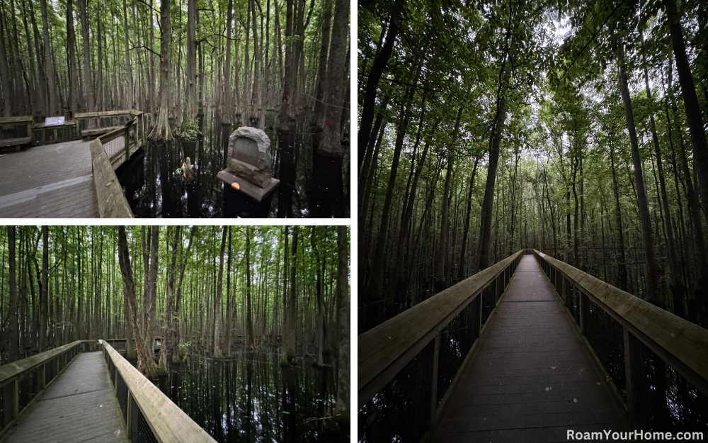
Hiking in Louisiana Purchase State Park
We were there to see the stone monument that marks where the survey started. It’s at the end of a boardwalk that is a little less than half a mile round trip. Getting out of the Jeep, we encountered our first wildlife—nasty swarms of mosquitoes. After bug spraying, we started down the boardwalk, which is right next to the parking lot.
As we entered the swamp, the temperature immediately dropped ten to fifteen degrees. Towering bald cypress and water tupelo trees essentially blocked the sun. The water was shiny and pitch black, making it impossible to tell how deep it was.
We made it to the stone maker in the swamp relatively quickly. Countless songbirds were singing high above. It was so dark and gloomy that catching a glimpse of them was nearly impossible. Woodpeckers hammering away echoed as we walked along the boardwalk. The air was perfectly still and smelled a bit of decaying plant matter. It was an incredible experience knowing that what we were walking through looked exactly the same as it did more than 200 years ago.
The Arkansas Daughters of the American Revolution erected the stone marker in 1926 on the 111th anniversary of the point’s establishment. The monument was not huge. The marker reads:
“This stone marks the base established November 10, 1815, from which the lands of the Louisiana Purchase were surveyed by United States engineers. The first survey from this point was made to satisfy the claims of the soldiers of the War of 1812 with land bounties.”
After enjoying the view we returned to the trailhead the same way we came in.
This was a great stop, and I cannot recommend it enough if you are in the area or traveling across I-40. It was a short hike that delivered incredible history and the experience of standing where the settlement of the American West began.

